Stroud thrived on its woollen mills in the Industrial Revolution, some of which now open to visitors to enjoy guided tours. In Stroud, you will find an eclectic mix of galleries, cafes and shops – selling everything from fossils to fairies and vintage to vinyl – and one of the best Farmers’ Markets in the country.
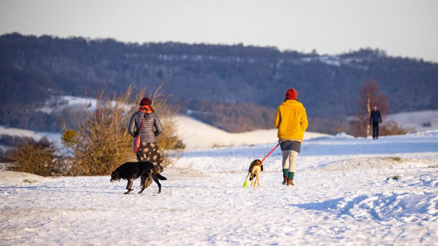
There are 12 routes to explore the Cotswolds from Stroud
Monday, 18th May, 2026 – Start: 10:00 am
Coffee Morning Walk - Sylvan Glades and a Steep Hill around Kingscote
| Length | 5.5 miles |
| Difficulty | May be steep slopes, moderate fitness |
Wednesday, 17th June, 2026 – Start: 10:00 am
Nailsworth to Avening
| Length | 6.5 miles |
| Difficulty | May be steep slopes, moderate fitness |
Tuesday, 21st July, 2026 – Start: 9:30 am
CNL60 Cirencester - Gateway to the Cotswolds!
| Length | 6 miles |
| Difficulty | Unsurfaced paths, basic fitness |
Tuesday, 12th May, 2026 – Start: 10:00 am
The 3 'V's of Woodchester plus a section of the Cotswold Way
The Valley, Vineyard and Views of Woodchester Park plus Selsley and Stanley Woods
| Length | 8.5 miles |
| Difficulty | May be steep slopes, moderate fitness |
Tuesday, 1st December, 2026 – Start: 10:00 am
Crippetts to Crickley one of my favourite walks
| Length | 6 miles |
| Difficulty | May be steep slopes, moderate fitness |
Friday, 10th July, 2026 – Start: 10:00 am
Shorter and Steadier 7 2026 Miserden
| Length | 3 miles |
| Difficulty | Unsurfaced paths, basic fitness |
Please note that owing to circumstances beyond our control this walk will take place on THURSDAY instead of the usual Friday.
Thursday, 11th June, 2026 – Start: 10:00 am
Shorter and Steadier 6 2026 Crickley
| Length | 3 miles |
| Difficulty | Unsurfaced paths, basic fitness |
Wednesday, 24th June, 2026 – Start: 10:00 am
The Highs and the lows of Cranham
| Length | 5 miles |
| Difficulty | Uneven, steep slopes, good fitness |
Tuesday, 18th August, 2026 – Start: 9:30 am
CNL60 - Painswick to Edge along the Cotswold Way
| Length | 5.5 miles |
| Difficulty | May be steep slopes, moderate fitness |
Tuesday, 2nd June, 2026 – Start: 10:00 am
Seven Springs and through Coberley
| Length | 6 miles |
| Difficulty | May be steep slopes, moderate fitness |
Friday, 19th June, 2026 – Start: 10:00 am
Regenerative farming and nature recovery 1
| Length | 2 miles |
| Difficulty | Unsurfaced paths, basic fitness |
Wednesday, 27th May, 2026 – Start: 10:00 am
Hidden Valleys around Elkstone
| Length | 5.5 miles |
| Difficulty | May be steep slopes, moderate fitness |